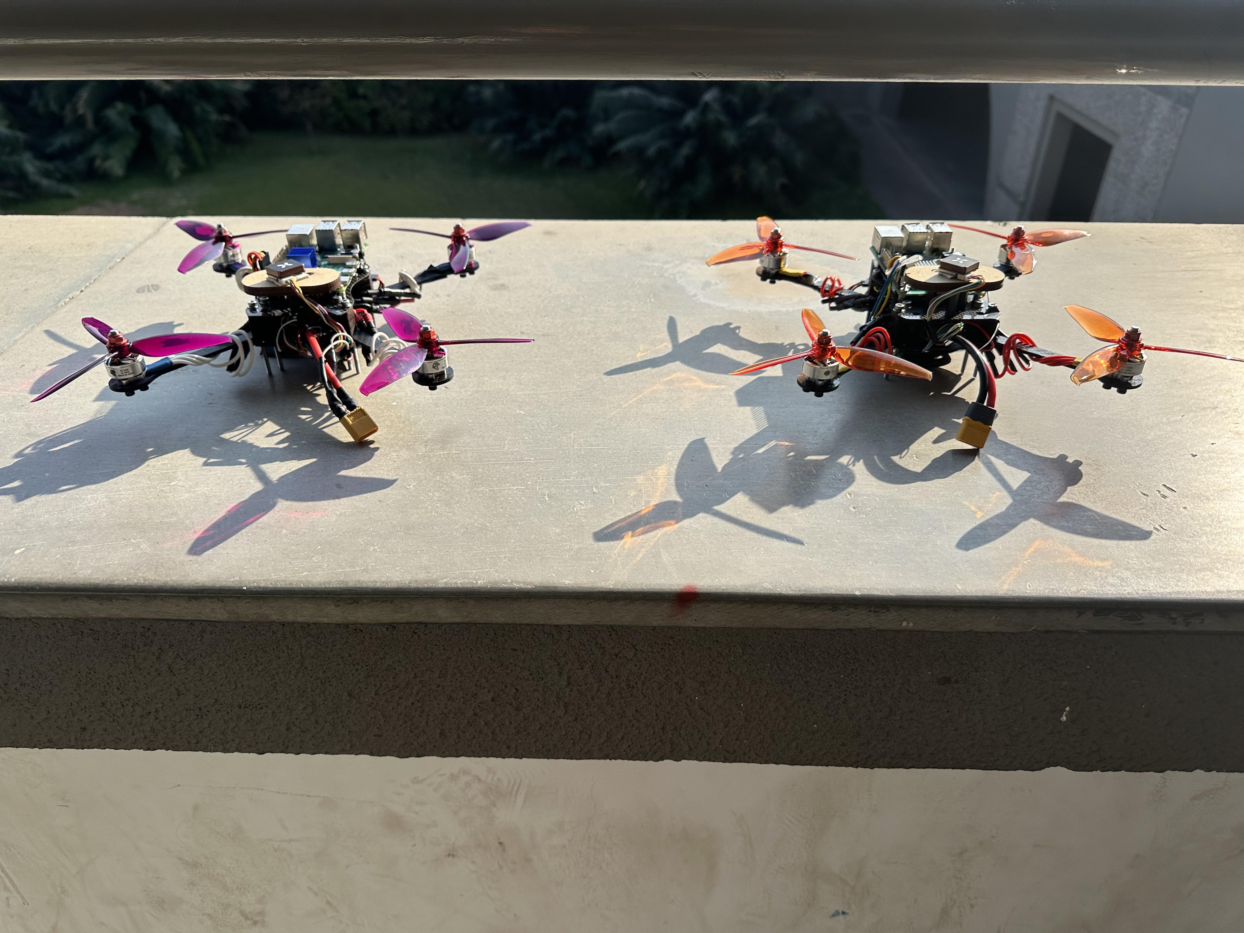
Assembly
472g lightweight configuration with bldc motors and carbon fiber frame. Designed for high agility and autonomous minefield navigation utilizing advanced swarm intelligence.
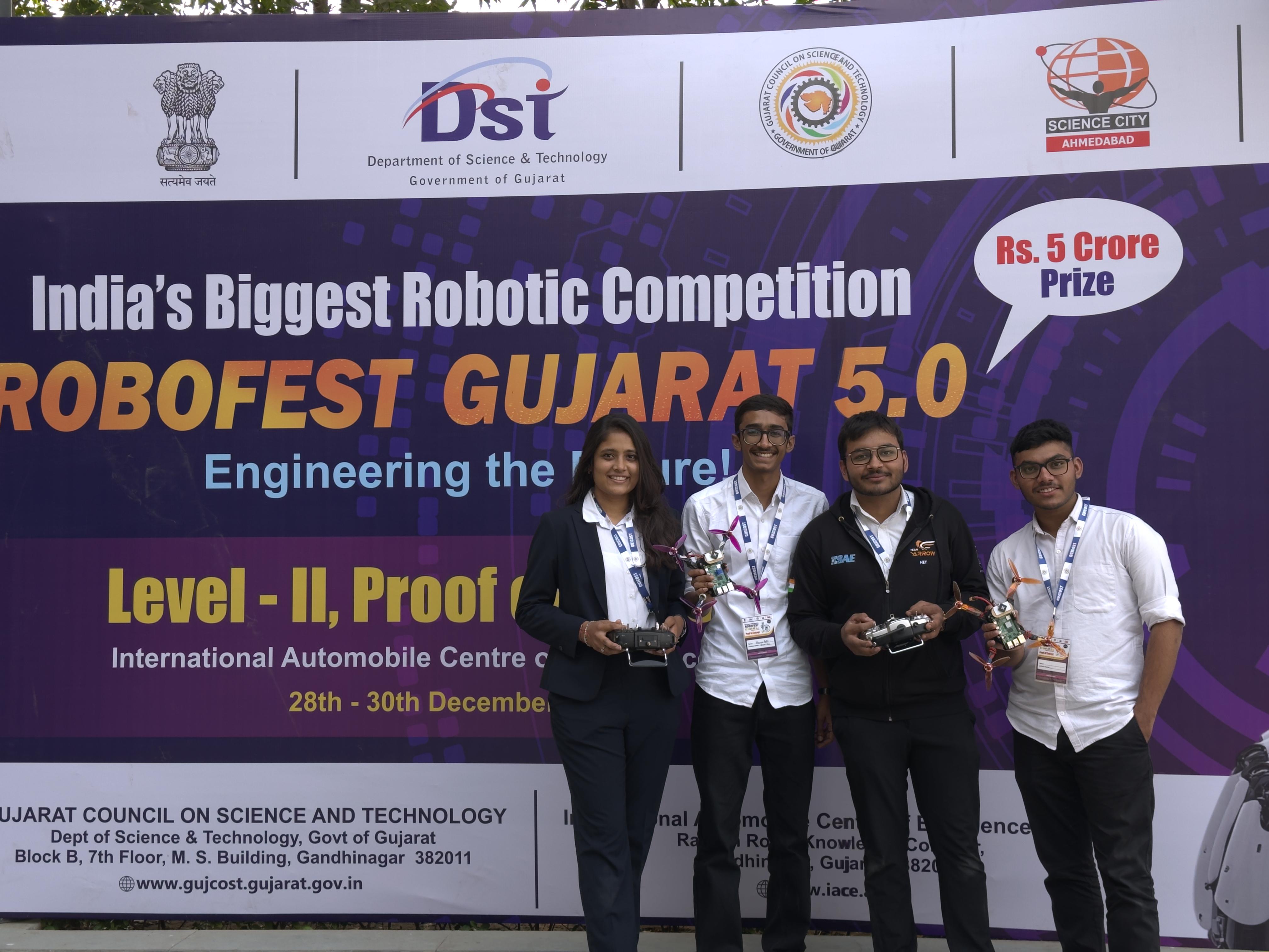
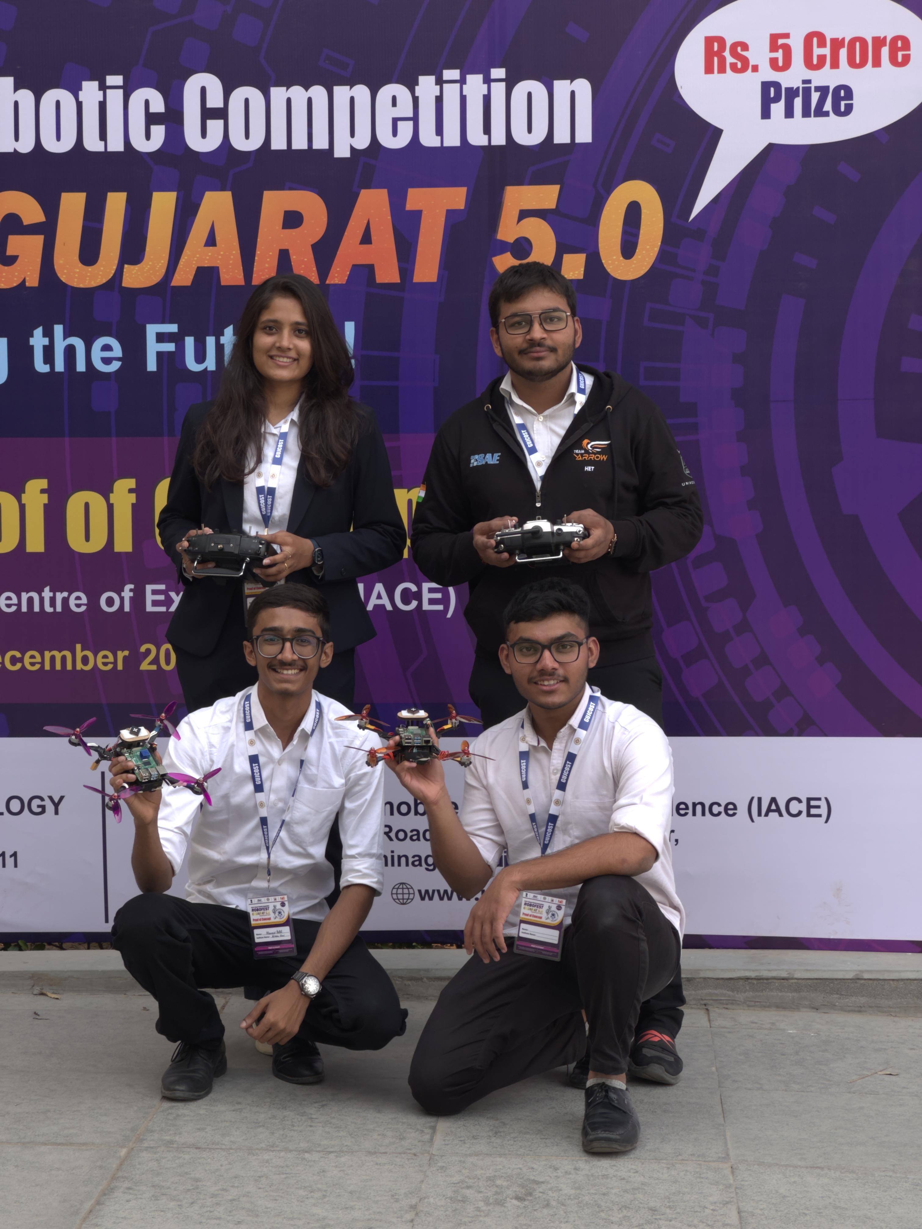
ROBOFEST–Gujarat 5.0: Aerial Robotics – Minefield Navigation Challenge is a senior-category competition conducted by the Gujarat Council on Science and Technology (GUJCOST), Department of Science and Technology, Government of Gujarat. The event requires student teams to design and deploy a swarm of autonomous micro aerial vehicles, with a minimum of four drones (each under 0.5 kg), to assist a virtual “person-at-risk” in safely crossing a simulated 100-meter minefield within 10 minutes. The challenge emphasizes real-world relevance in defense, disaster response, and humanitarian operations, demanding high reliability, safe navigation, and coordinated swarm behavior under competition constraints.
The mission demonstration evaluates key technical capabilities including gesture/voice-based activation, autonomous takeoff, mine detection and mapping using onboard sensors, obstacle avoidance, and collaborative route planning. Teams must generate and communicate a safe route with a mandatory 1-meter exclusion buffer from each detected mine and visually mark the corridor using LEDs or approved markers. The competition field is designed as a 20 m × 100 m arena divided into Start, Minefield, and Exit zones, containing approximately 20 to 40 buried mines with possible obstacles such as poles. Scoring is based on mine-mapping accuracy, safe guidance, completion, and time performance, with penalties for unsafe proximity or crashes.
Detect and map the mines using onboard sensors.
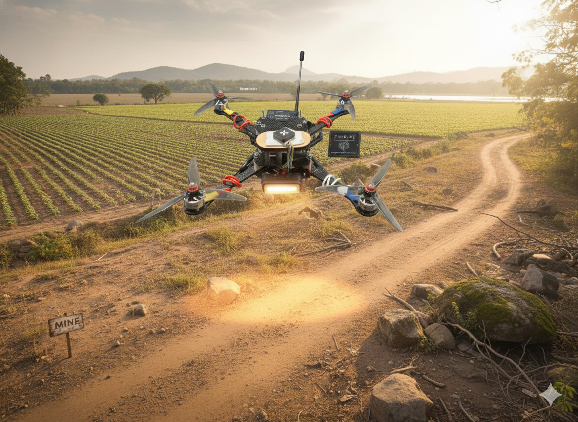
Coordinate among drones to prevent redundant scanning.
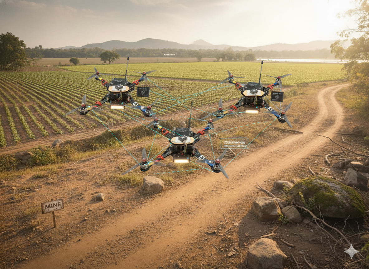
Generate a navigation corridor with 1-meter clearance.
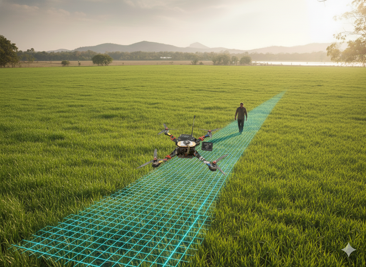
Track the person-at-risk and update the path live.

Advanced sensor-based logic for autonomous mapping of underground hazards.
Coordinates among drones to prevent redundant scanning of the same area.
Companion processing for high-level data handling and real-time mission planning.
Interpret hand signals for emergency mission overrides and interaction.
Ultra-lightweight configuration optimized at 472 g for maximum agility.
Driven by a 4500mAh 10C Lithium-Ion battery pack for extended endurance.
472g lightweight configuration with bldc motors and carbon fiber frame. Designed for high agility and autonomous minefield navigation utilizing advanced swarm intelligence.
High-performance processor for stable autonomous minefield navigation.
Onboard companion computer for real-time vision processing and mission logic.
Lightweight camera sensor for visual obstacle detection and mapping.
Precision GPS module for accurate global positioning.
Proximity sensor for low-altitude terrain hold.
High-discharge Li-Ion battery cells providing extended flight endurance.
High-current 4-in-1 ESC for motor management.
High-torque brushless motors optimized for efficiency and agility.
Aerodynamically designed propellers for maximum thrust and efficiency.